 1
1 2
2 3
3 4
4 5
5 6
6 7
7 8
8 9
9 10
10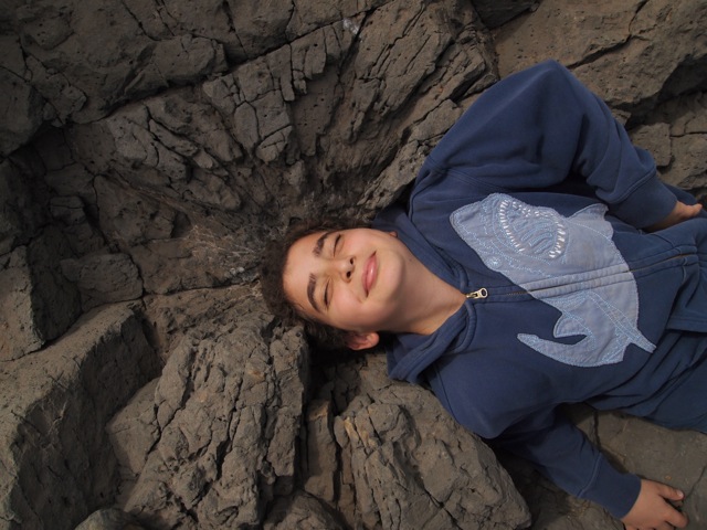 11
11Photo (top to bottom): photos 1&2: Goundo, Mourtada, Lucina and Rosa examine the sedimentary layer beneath the Mamelles volcanics; photos 3, 5-7: close-ups of the silty sedimentary layers; photo4: the underside of the earliest volcanic flow forms a cast of the underlying surface; photo8: basalt columns; photo9: wide shot of the area; photo10: evidence of dynamiting, mining the basalt; photo11: Bobby takes a nap.
As the crow flies, ISDakar is not too far from the shore. The quickest access is a 20 minute walk down the Corniche (a major north-south artery, running along the west edge of the peninsula), then directly to the sea down an unimproved road used for the construction of a new oceanfront hotel.
It's a interesting area: a mish-mash of lava flows atop layers of silty sediment.
How do geologists describe rocks; what is the language they use?
The aim of this field lab was to observe ten physical features of rock, from hardness, to luster, surface, cleavage, color, density, and the color left on a rough scratch plate. Groups identified three half meter study plots in which to gather and record their observations.
The site is also beautiful, particularly in late January, when most days are sunny and cool.


No comments:
Post a Comment